The problem
Where is the nearest fountain to refill my bottle? Granada has hundreds of public fountains, but that information wasn't easy to look up for locals or tourists.
Home
Professional project
Mobile app to find Granada's public fountains and explore the city through walking routes between its most iconic ones.
Where is the nearest fountain to refill my bottle? Granada has hundreds of public fountains, but that information wasn't easy to look up for locals or tourists.
An iOS and Android app that maps every public fountain in the city using real data from Emasagra, and suggests themed walking routes with distance, duration and accessibility.
Hundreds of markers on screen slowed the map down.
Marker clustering that groups nearby points as you zoom out.
Smooth navigation even with 200+ fountains visible at once.
Route information had to be shown without covering the map, which is what matters.
A gesture-driven, expandable bottom sheet built with Gorhom and Reanimated, with expandable route cards.
Map and routes share a single screen with smooth animations.
Google Maps' default style has too much visual noise for this app.
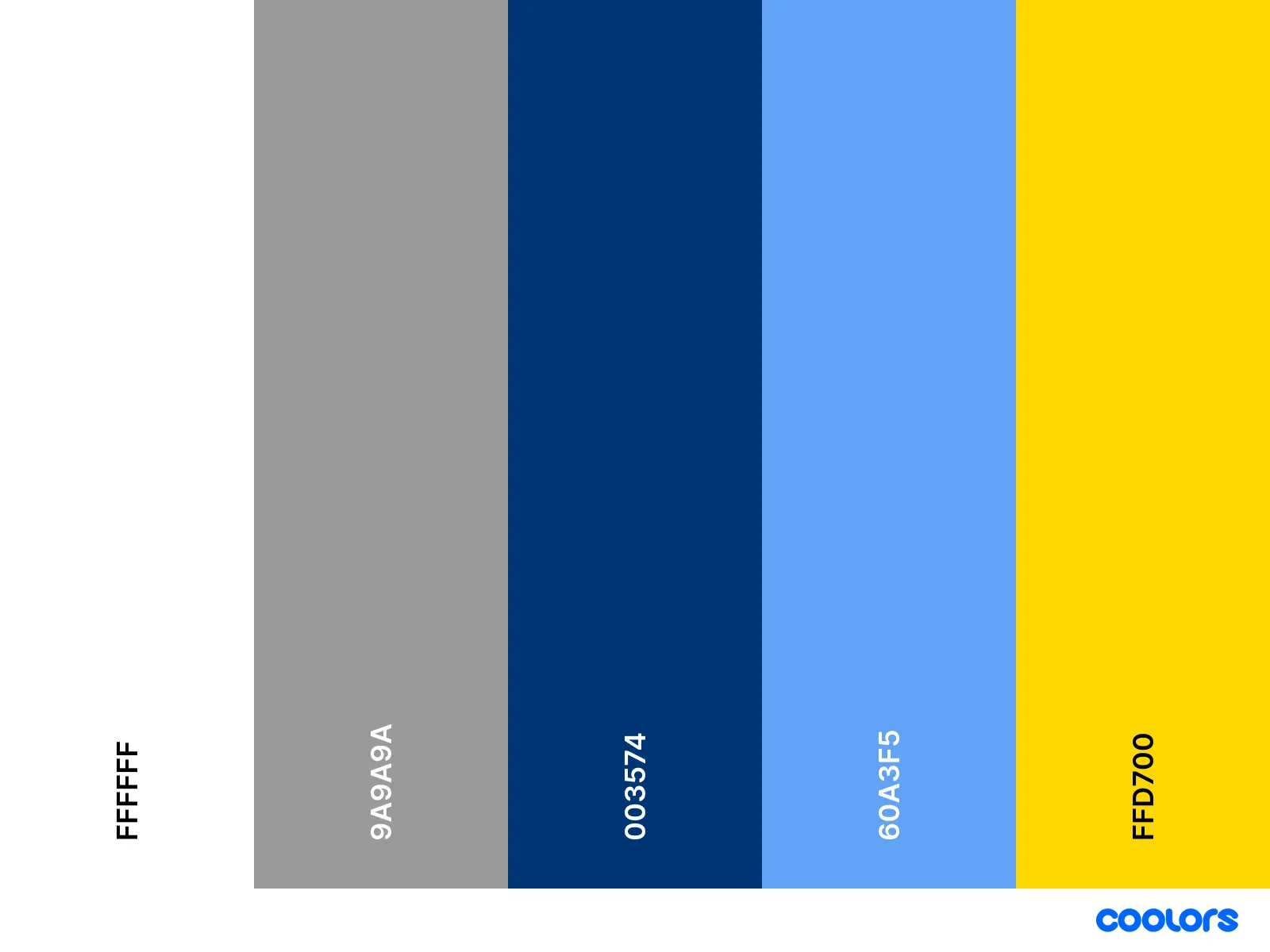
A custom minimalist map style and a blue, water-inspired visual identity.
The fountains are the star of the map.