El problema
¿Dónde está la fuente más cercana para rellenar la botella? Granada tiene cientos de fuentes públicas, pero esa información no era fácil de consultar ni para vecinos ni para turistas.
Inicio
Proyecto profesional
App móvil para encontrar las fuentes públicas de Granada y recorrer la ciudad con rutas entre sus fuentes más emblemáticas.
¿Dónde está la fuente más cercana para rellenar la botella? Granada tiene cientos de fuentes públicas, pero esa información no era fácil de consultar ni para vecinos ni para turistas.
Una app para iOS y Android que muestra en un mapa todas las fuentes públicas de la ciudad, con datos reales de Emasagra, y propone rutas a pie temáticas con distancia, duración y accesibilidad.
Cientos de marcadores en pantalla ralentizaban el mapa.
Agrupación de marcadores (clustering) que junta los puntos cercanos al alejar el zoom.
Navegación fluida incluso con más de 200 fuentes visibles a la vez.
Había que mostrar la información de las rutas sin tapar el mapa, que es lo importante.
Un bottom sheet desplegable basado en gestos, con Gorhom y Reanimated, y tarjetas de ruta expandibles.
Mapa y rutas conviven en una sola pantalla con animaciones fluidas.
El estilo por defecto de Google Maps tiene demasiado ruido visual para esta app.
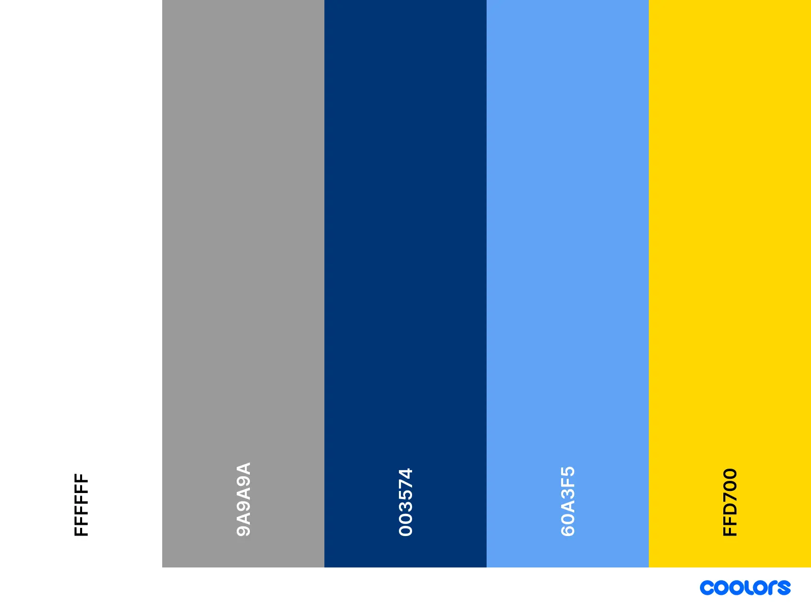
Un estilo de mapa minimalista propio y una identidad visual en azules inspirada en el agua.
Las fuentes son las protagonistas del mapa.